1speed
Incredibly profound yet fantastically flawed
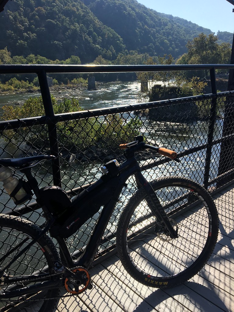
Posted about this on FB yesterday, but figured I'd tell a longer story here for anyone who might be interested in a rode that's somewhere between a typical MTB ride and let's say something @liong71er (get it?)
I'm on vacation for the next two weeks,and my wife only has a few of those days off, so I had a few days to myself. I'd been wanting to do the full ride of the Great Allegheny Passageway for a few years, so I thought this was the perfect opportunity.
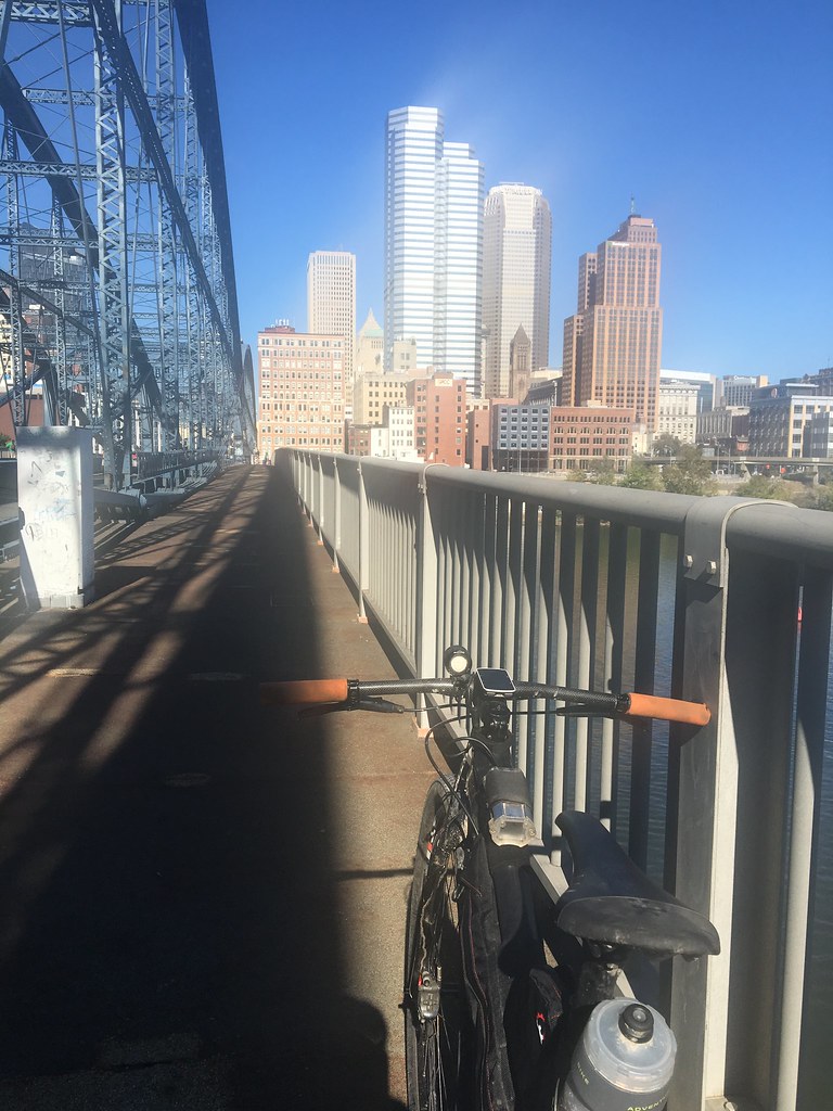
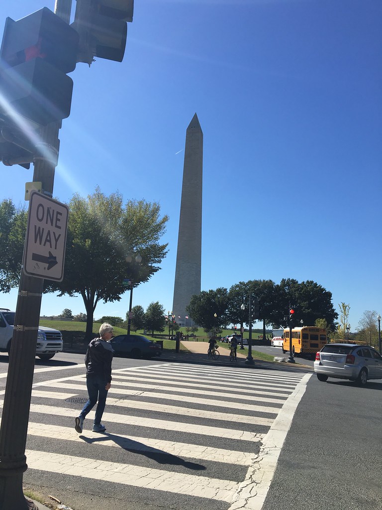
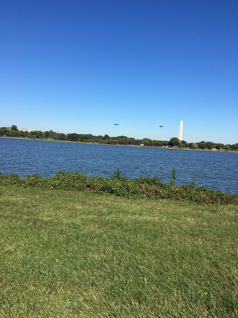
For those who don't know, the GAP is actually two separate trails that connect Washington D.C. and Pittsburgh - the C&O Trail, which runs from D.C. to Cumberland, MD and then the actual GAP itself, which runs form Cumberland up to Pittsburgh. You can do this ride in either direction, but I chose to go from D.C. to Pittsburgh because that made it easier logistically. I drove down to D.C. Sunday morning and parked at Reagan Airport in the Economy Lot. I picked up the start of the C&O Trail in Georgetown via the Mount Vernon Trail that runs right through the airport.
A few years ago, I rode across the state of NY on the Erie Canal Trail, a cinder path that (mostly) runs straight through the center of the state east-to-west. I say "mostly" because there are sections that require going out on some fairly active roads. That's not the case with the C&O or GAP trails - except for maybe a quarter mile section in McKeesport, PA, both trials are entirely self-contained off-road pathways linking the two cities. The trails are, however, decidedly different from one another, so I'll describe the two of them separately.
C&O Trail
The C&O Trail starts out as an elevated canal path running right out of Georgetown northwest toward Leesburg. It remains that way for a while as it runs along some of the more popular kayaking areas of the Potomac. Eventually, however, the trail starts to switch over to something a bit more rugged. Eventually, the majority of the trail becomes doubletrack, kind of like poorly maintained Jeep road. That's not a dig against it -- it actually makes the ride much more interesting. There are a lot of roots and, at least this week, there was a lot of switching back and forth between the two tracks because of standing puddles.
I saw a lot of kayakers in full body armor heading for sections of the Potomac like this one early on the C&O Trail.
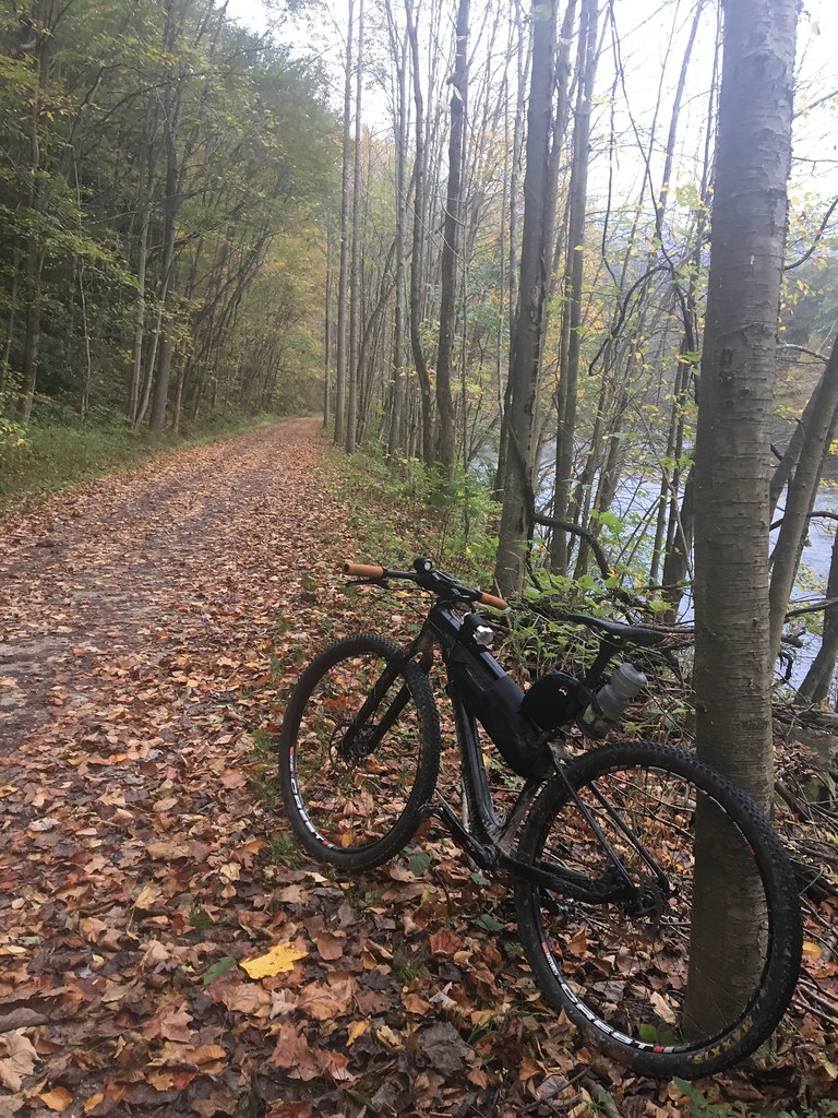
Double track on the C&O Trail
I wouldn't say the riding is difficult in and of itself, but it's certainly harder on the body than, say, the kind of cinder path that was common on the Erie Canal Trail.
The C&O Trail runs 186 miles. Sunday, I rode to mile 100 at Williamsport, MD (which put me around 107 for the day since the ride from the airport to the trailhead was about 7 miles.) On Monday, I finished off the rest of the trail from Williamsport, MD to Cumberland. Most of the Monday ride was rooty double track.
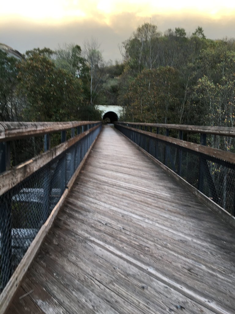
GAP Trail
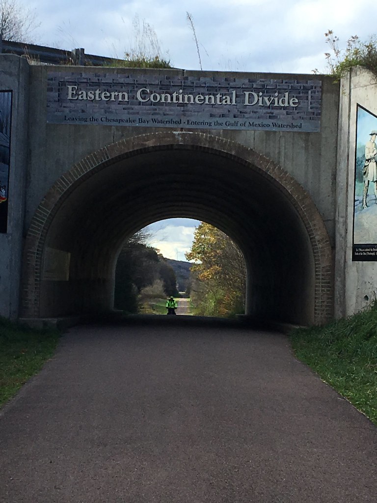
Monday, around 2:00 or so, I finished off the C&O Trail and the started the GAP Trail. My goal for Monday was to reach the town of Confluence, which meant a 150 mile day. I knew that would be a long day by any stretch, but add to that the climb up to the Eastern Divide that begins the GAP and the very odd and noticeable instant change in temperature as I transferred from one trail to the next, and I realized my goal of finishing the day's ride before 6 pm was out the window. The climb is easy as most climbs go, but it is a very steady 2-3% for 25 miles. That would probably have been a lot easier if I wasn't 90 miles into my day riding a 36:16 singlespeed. As it was, I was hurting by the time I hit the Divide Tunnel at the top. As soon as I went over the top, though, the rest of the ride (and I do mean the whole rest of the ride) got a lot easier. I did have to stop immediately to put on a base layer because of the cold wind. I think that's a characteristic of the area and not just a coincidence of that day and time because the area has a lot of wind farms on top of the mountains.
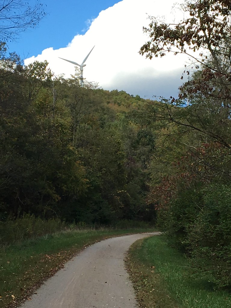
Wind turbine along the climb to the Eastern Divide
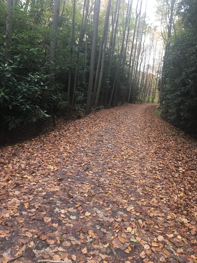
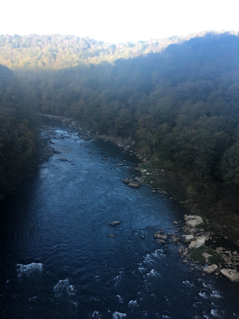
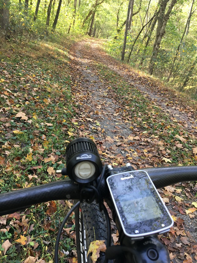
Most of the GAP Trail is super smooth trail as in the photo above. The only exception would probably be some of the leaf-covered and bumpier sections near Ohiopyle. But you wouldn't mind those sections at all because the area around Ohiopyle is some of the most scenic along the entire ride.
Ohiopyle Trail
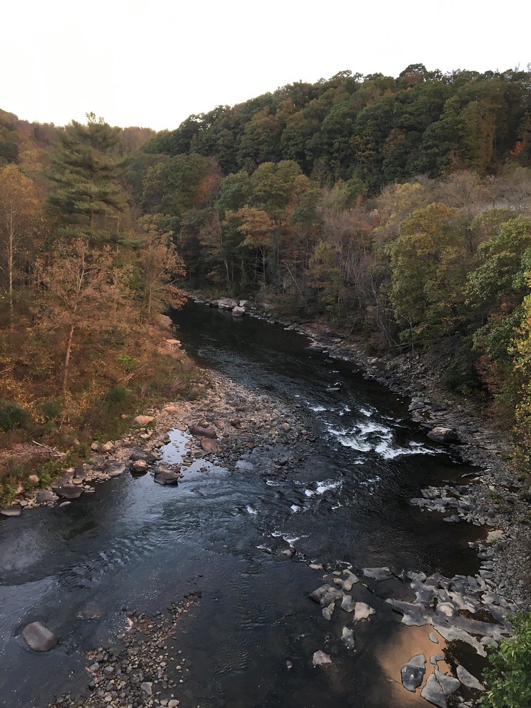
Scenery ain't so bad out there ...
I reached Confluence Monday night around 7, and checked into my room at the Smith House B&B. I cannot recommend that place enough if you ever find yourself in the area. The owner, Amber, was super nice and went out of her way to accommodate my odd arrival time. They had a garage for my bike that I could access at any time and while food options in town were limited, the B&B does serve a very nice breakfast every morning.
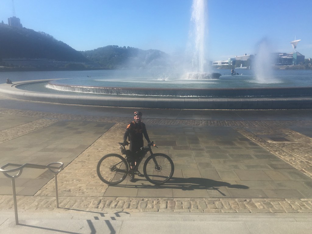
I finished off the last 90 miles of the ride on Tuesday, arriving in Pittsburgh by 2:45. It's a bit tricky to navigate to the actual terminus at Point State Park. I took one wrong turn, but was able to work it out pretty quickly. You want to follow the trail to downtown, and head straight into the confluence of the three rivers to find it. One final note on the GAP: as you reach McKeesport, the trail becomes mostly paved for the last 16 miles to Pittsburgh. Aside from the wind off the rivers, it's a pretty easy finish to the ride.
This ride is completely doable for anyone with MTB experience. The only limiting factor would be time - depending on how much of it you have, it can be a challenging ride or a very nice scenic pedal through a beautiful part of the country. Regardless of that, though, there are a few things to be aware of before you attempt it:
First, if you can plan stop-to-stop on a daily basis, do so. Knowing how far you'll go and sticking to it takes a lot of guesswork our of your ride. I only had one unalterable part of my plan - I needed to finish by Tuesday. That meant bigger miles each day, and the trail isn't always very friendly to that kind of approach. For example, on my long Monday ride, I had to choose between only two options - a 130 mile day or a 150 mile day. Nothing between that would suffice because there was nowhere to stop between Rockwood (130 mile day) and Confluence (150). And not all of the hotels that are available are included in the guides they publish. I originally planned to camp but had to forego that when my single tent was unavailable (it was partially destroyed by accident in my basement.) The first night, I managed to find a Red Roof Inn in Williamsport that was not in the guide. If I hadn't found that, I'd have probably had to ride another 25 miles to the next hotel I knew from the guide. The point is, I was at the mercy of what was available wherever I landed. Planning a specific distance per day based on where you want to stay is probably a better way to go if that's available to you.
Second, always have food and drink. That seems obvious, but some of the places you'll count on to get food may not be available. A lot of the towns are very small and everything closes early, or isn't open certain days of the week. For example, my expected stop in a town called Oldtown for water turned out to be a bust when I discovered that the only store near the trailhead isn't open on Mondays. I had to push on without water for another 10 miles until I found a campground with a pump that had iodine-treated water.
Third, be smart how you carry your gear. Full bike packing set-up = smart. Wearing a backpack instead of using a bar bag = dumb. I was dumb. I will not ever be dumb (that way) again. I think my upper back will be sore forever, and having an extra 20 lbs. on my body made riding out of the saddle pretty unpleasant on my quads and forced me into a sometimes uncomfortable position.
Finally, if you can do it, do it. It's a beautiful ride and worth the time it takes, however long you can do it. Here's a photo dump to give you a taste of what's out there ...