


You are using an out of date browser. It may not display this or other websites correctly.
You should upgrade or use an alternative browser.
You should upgrade or use an alternative browser.
Sourlands Mountain Preserve Conditions
- Thread starter clarkenstein
- Start date
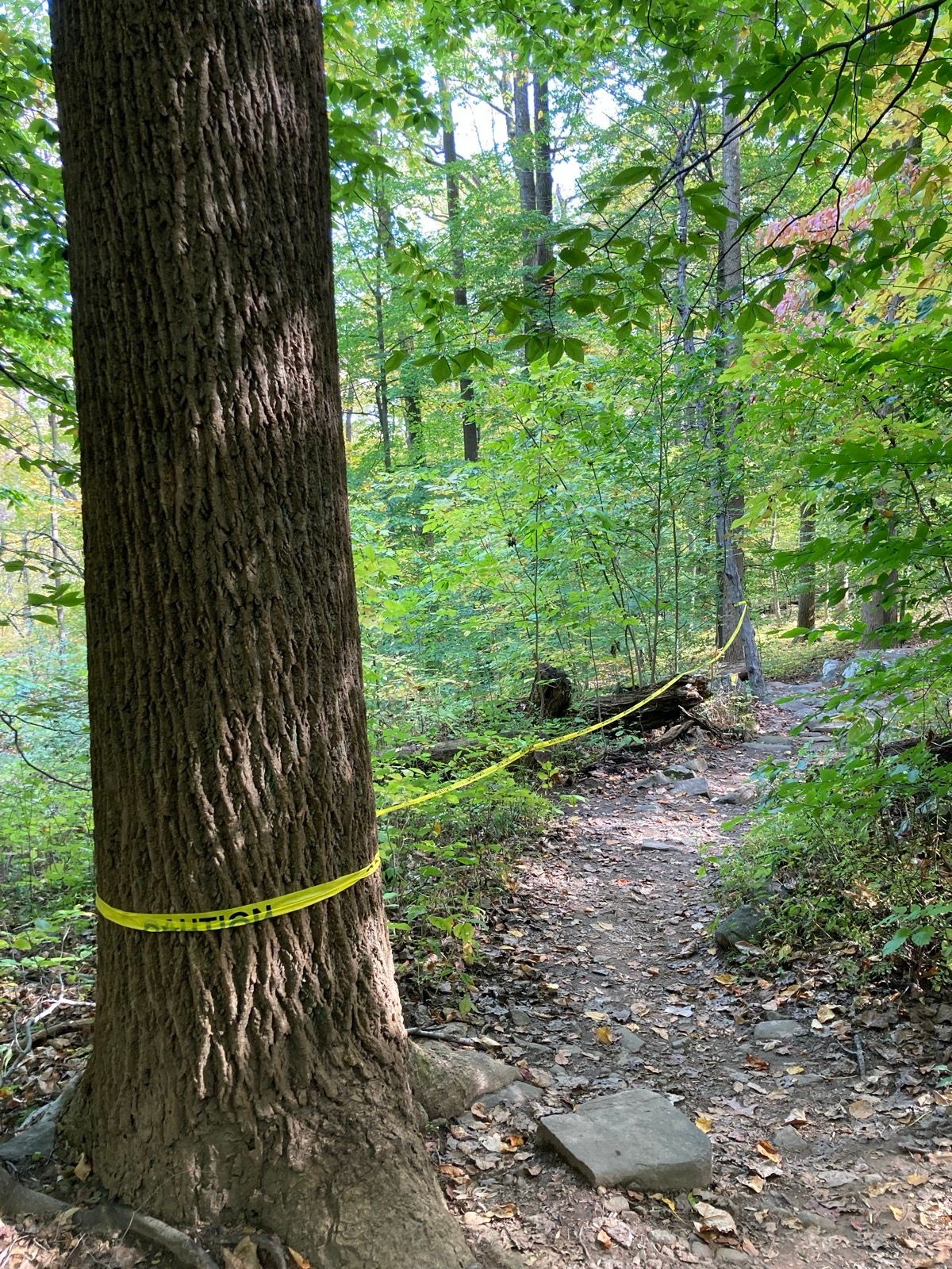
Passed to Rangers. I still haven't figured out how to get notifications about Sourlands issues nor how to see the exact location the pic was taken on Trailforks though. @Patrick ?2 large trees down near bridge on "connector" - I posted a photo on TrailForks with location.
Passed to Rangers. I still haven't figured out how to get notifications about Sourlands issues nor how to see the exact location the pic was taken on Trailforks though. @Patrick ?
Notifications from here or TF?
I see @Robin's report, I opened an issue, but don't see it on the issue map. It has the trail.
I'm on my phone so might be tough. This is on the web interface
Last edited:
Robin
Well-Known Member
Notifications from here or TF
I see @Robin's report, I opened an issue, but don't see it on the issue map. It has the trail.
I'm on my phone so might be tough. This is on the web interface
@gmb3
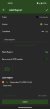
Hopefully I did it correctly. I opened the trail I was on... snapped photo and completed "report". I had GPS location on.
Attachments
@gmb3
Hopefully I did it correctly. I opened the trail I was on... snapped photo and completed "report". I had GPS location on.
The system is reporting that the lat/lon was not included in the report. Not sure why, i'll post one up and see if it works.
if the photo is still on your phone, please try doing another report using the photo to generate the location.
stupid computers.
Notifications from TF. And i was also on my phone. I saw her report with the photo and what trail it was on, but no map/pin of exact photo location.Notifications from here or TF?
I see @Robin's report, I opened an issue, but don't see it on the issue map. It has the trail.
I'm on my phone so might be tough. This is on the web interface
Notifications from TF. And i was also on my phone. I saw her report with the photo and what trail it was on, but no map/pin of exact photo location.
i just subscribed to notifications for SMP on TF, and made sure the app was allowed to show them.
will report back
Without any intel, I'm still sure this place will be too wet to ride over the weekend. But if you must, please climb the Pipeline to the upper trails for a better experience.
In other news, "We’ll be installing your JORBA sign near the bike repair station by the end of the week". Took a while but the Rangers finally approved!
In other news, "We’ll be installing your JORBA sign near the bike repair station by the end of the week". Took a while but the Rangers finally approved!
Is there a contest to guess the number of trees down? Water co, baldpate and nesh all have new stuff down.Without any intel, I'm still sure this place will be too wet to ride over the weekend. But if you must, please climb the Pipeline to the upper trails for a better experience.
In other news, "We’ll be installing your JORBA sign near the bike repair station by the end of the week". Took a while but the Rangers finally approved!
JPark
Well-Known Member
I was there today.Without any intel, I'm still sure this place will be too wet to ride over the weekend. But if you must, please climb the Pipeline to the upper trails for a better experience.
In other news, "We’ll be installing your JORBA sign near the bike repair station by the end of the week". Took a while but the Rangers finally approved!
The conditions were a little strange.
There wasn't any standing water. Not really muddy. Even spots I expect to be muddy were not.
But it was just slippery everywhere I rode!
Rode Up Pipeline -> Down Tres -> Bouldering Area -> New Shoes -> Lower Trail yesterday afternoon. Dirt was tacky down low but no mud anywhere. It looks like that will change this weekend. Ran into the rangers near the bouldering area - it looked like they were assessing all of the downed trees on the trail so hopefully that gets cleared up soon!

Since Rangers won't get that big boy, I'll try to find a day that works for us and we can tackle it with manpower. Looks like we luckily only need 1 cut on it.
I’ve been sadly neglecting the SL. I’ll see if I can up there soon and clear it, if not cut it up at least.
Rode up the pipeline and down tres last night - super leafy but trails were in great shape otherwise - fingers crossed we still have some time left before it becomes a wet freeze/thaw mess.
Noticed some additional rocks that were added or moved to make some lines easier - what're the other sourland riders thoughts on editing/simplifying the features & trails that are there?
Noticed some additional rocks that were added or moved to make some lines easier - what're the other sourland riders thoughts on editing/simplifying the features & trails that are there?
The whole point of Sourlands is challenging rock lines.Noticed some additional rocks that were added or moved to make some lines easier - what're the other sourland riders thoughts on editing/simplifying the features & trails that are there?
Noticed some additional rocks that were added or moved to make some lines easier - what're the other sourland riders thoughts on editing/simplifying the features & trails that are there?
It is all about the alternate lines!
Haven't been there in a few months, i'll go see what is going on.
I too have not been there in many weeks. Generally I don't like old existing/established lines to be changed but if they found something new, i just hope they didn't half-ass the construction. When i ride there, I check all the lines and I will undo sketchiness or overly dumbed down stuff.