Ok, there are two "clinton road area" options: If you park at the dirt lot just past the "Project USE", and ride into the gate of Project USE, you'll go up a dirt road (Old Coal) that will be the one that we rode briefly in between Thirsty Dog and Splitrock. The other option is to drive past that lot, go past the Bearfort Waters lake, and take a left on Cherry Ridge road...drive up that road till it turns to dirt. If you have a high clearance vehicle, you can drive up to the Ferber dirt circle. From there you can access a few trails: Kiosk (which you were on and leads to the Wall trail), Porcupine, and Banker.
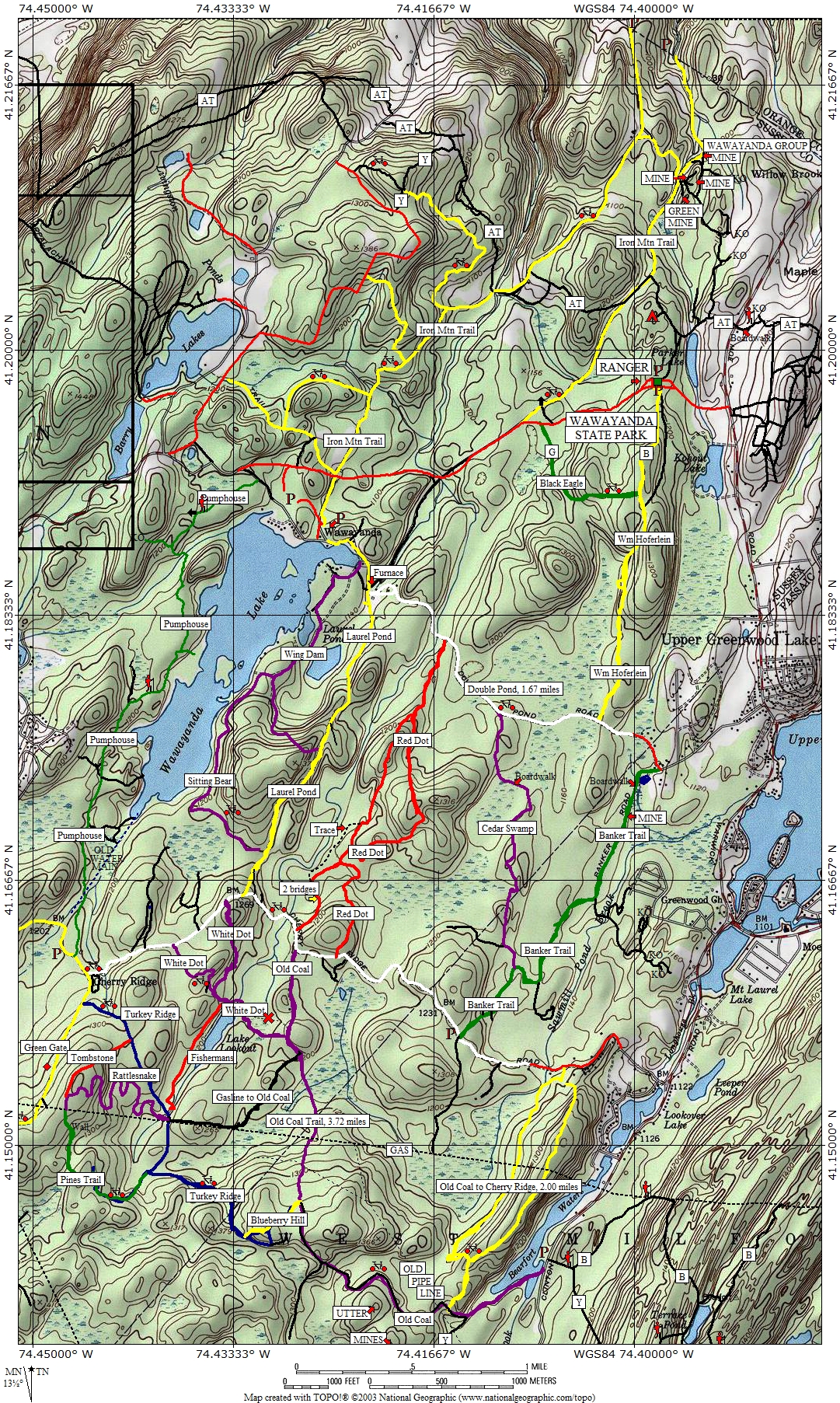
This is the most recent map I've seen, but again, Thirsty Dog, Buddha, Splitrock, Mojo, Gasline bypass, Fishermans are not on here (and Pickle is misnamed Fishermans on this map):
http://www.mtbnj.com/w/images/7/7d/Wawayanda-Unofficial-revApr2009.jpg
See my other note...may be we can hook up for another ride in a week or two?


