GPS coordinates and distance ridden

Kaleidopete

Well-Known Member
Below is a pretty good explanation about GPS and distance ridden that I didn't consider if riding over the GW bridge or Bear Mountain bridge. Useless information, I know, but interesting.
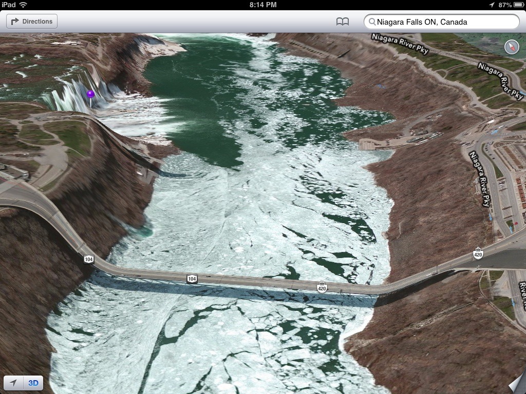
GPS coordinates are on the face of the earth at that point, not on man made structures. so if you are riding up a bridge or on an overpass, the GPS coordinates (and therefore distance and elevation) will be based on the ground at that point, which may be a distance below you. I know others have had issues with elevation variations until they realize that they are riding over bridges so it appears level to them but in reality the ground is dropping out under them and the tracker thinks they are running on the ground. Since the ground covers more distance than the bridge it will over estimate distance and pace. This is simply the way GPS mapping works.
 

Patrick

Overthinking the draft from the basement already
Staff member
Below is a pretty good explanation about GPS and distance ridden that I didn't consider if riding over the GW bridge or Bear Mountain bridge. Useless information, I know, but interesting.
GPS coordinates are on the face of the earth at that point, not on man made structures. so if you are riding up a bridge or on an overpass, the GPS coordinates (and therefore distance and elevation) will be based on the ground at that point, which may be a distance below you. I know others have had issues with elevation variations until they realize that they are riding over bridges so it appears level to them but in reality the ground is dropping out under them and the tracker thinks they are running on the ground. Since the ground covers more distance than the bridge it will over estimate distance and pace. This is simply the way GPS mapping works.

GPS "altitude" used to be terrible. It isn't anymore. This is because of WAAS. It is additional, land-based, gps signals from known positions, which includes correction data
for the satellites (position, and atmospheric) - WAAS isn't always available on the ground, but....

On the road, data can be corrected using government supplied data (TIGER) - which contains survey information.

take a look at mile 9.6 on this ride, it clearly shows the altitude associated with the bridge, not the track over the water.
https://www.strava.com/activities/836526883 -

Wheel sensors help, esp in tight, twisty sections like 6mr, where the sample rate isn't high enough to catch every turn (sample rates have gone up also,
as the processing of the data has gotten faster)

it would be an interesting experiment to find a bridge where there is a significant difference in distance between its surface, and its projection,
and try different devices to see what they record.

----

on that note, smart phones have accelerometers on them. I wonder if they could record how bumpy a road is, and how it changes over time,
to help schedule repairs/repaving.

---

there are a couple of geo-heads on here that know way more about this than I.
Where did you find that info?
 

Kaleidopete

Well-Known Member
That info was given from the Tom Tom forum web site as to how their multi sport watch records activity and why it is inaccurate at times.
I've heard how the government has a much better system in place and they won't release it to the general public.
 
Last edited:

Patrick

Overthinking the draft from the basement already
Staff member
That info was given from the Tom Tom forum web site as to how their multi sport watch records activity and why it is inaccurate at times.
I've heard how the government has a much better system in place and they won't release it to the general public.

the government adds some jitter into the data so it can't be used for weapons targeting - they can also turn it off as necessary.

leave a garmin powered up, and recording on a countertop for a couple of days. the resulting track will "walk" around.
 

mike_243

JORBA Board Member/Chapter Leader
JORBA.ORG
the government adds some jitter into the data so it can't be used for weapons targeting - they can also turn it off as necessary.

leave a garmin powered up, and recording on a countertop for a couple of days. the resulting track will "walk" around.

I have seen this by accident I have also notice that for just distance a wheel sensor if installed and tweaked is more accurate then a GPS device and a GPS device is more accurate the a cell phone this is just my non-scientific testing..
 

Patrick

Overthinking the draft from the basement already
Staff member
500 ft elevation gain? Wow that was accurate! o_O

i went over multiple bridges!

at the 10 mile mark i'm 35' below MSL

--

i should also add that many gps devices have a barometric altimeter (the kind an airplane uses) - more accurate than gps altitude - unless the port gets clogged. then you get weird readings.
 

Kaleidopete

Well-Known Member
i went over multiple bridges!

at the 10 mile mark i'm 35' below MSL

--

i should also add that many gps devices have a barometric altimeter (the kind an airplane uses) - more accurate than gps altitude - unless the port gets clogged. then you get weird readings.
That is why people were complaining about my TomTom watch, it claims to have an altimeter, but you can't see it's results untill you plug it into a computer. People want to see it while riding, hence the complaints.
 

Kaleidopete

Well-Known Member
I guess this all comes down to what equipment you are using and it's up to the manufacture to decide what they are willing to incorporate into their product. I know my Garmin 5oo will only get me to within about 40 to 50 feet when trying to find a Geocache and sometimes it changes while just standing still. I thought my original post was more fact than just that manufactures information about their product.
 

ilnadi

Well-Known Member
a few things:
  1. GPS jitter (officially "Selective Accuracy") was turned off in 2000 on Clinton's EO (this is not to say there are no other hidden measures). Before that you needed post-processing based on dither tables to use GPS for surveys. Now any wiggles you see sitting on your kitchen counter are probably due to receiver performance, your microwave, being under a roof, the brushes on your AC blower motor, etc etc.
  2. These days it is normal to demand 1m accuracy from GPS chips. BUT, it is an antenna/power issue. A car GPS with a big antenna and ground plane plus access to endless power will do better in a car (bad environment) than a watch in open air. Also wrist is a notoriously bad place but a metal handlebar does wonders for reception.
  3. Almost all modern GPS receivers are "3D", meaning they measure altitude as well as lat-long by using more than 3 satellites. The altimeter is for accuracy. So unless your GPS is 15yrs old, your track will be at the right altitude
  4. Whether the track is shown over the bridge or thru the canyon is a function of the mapping/GIS system not the GPS. If the track is shown on your GPS, then you are limited by the mapping capabilities of the device but no on-line system should make such a mistake.
 

Supermoto

Well-Known Member
tumblr_mb6u9hX8qp1rhptwbo1_1280.jpg
 

Kaleidopete

Well-Known Member
Look how crappy my TomTom recorded my ride the other day.
Circled in green is the same trail, out and back.
I've been using this device for over a year now and this is a first. It's usually very good.

Image1.jpg
 

soundz

The Hat
Team MTBNJ Halter's
My ride over the GW shows the elevation of the bridge not the water

Interesting .. this used to not be the case. I know for sure on Garmin Connect when I used to use it. Pretty sure it used to be the case with Strava as well. It would look like you jumped off the bridge.

I just checked my today's ride and it appears you are correct. I do see a slight dip at the beginning of the bridge -9.4% grade:

https://www.strava.com/activities/1136602162

Manhattan Bridge looks pretty smooth:

https://www.strava.com/activities/1137328686
 
Top Bottom